Buffalo National River
Established in 1972, Buffalo National River flows freely for 135 miles and is one of the few remaining undammed rivers in the lower 48 states. Once you arrive, prepare to journey from running rapids to quiet pools while surrounded by massive bluffs as you cruise through the Ozark Mountains down to the White River.
Map showing location of park.

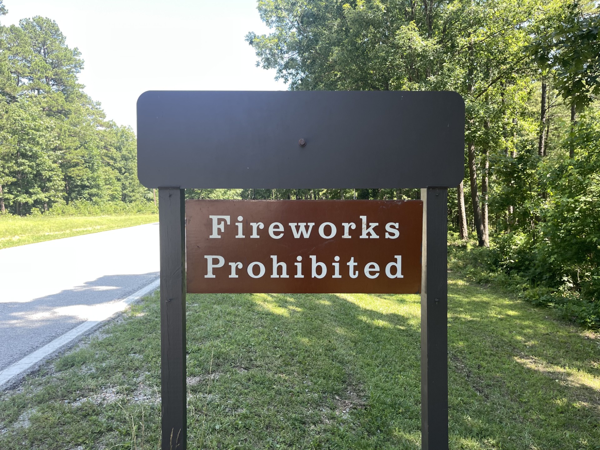
Fireworks Prohibited at Buffalo National River
Fireworks are prohibited at Buffalo National River.

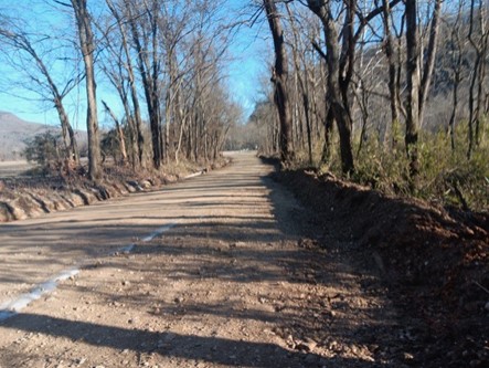
Cave Mountain Road Temporary Closure
Newton County, in coordination with Buffalo National River, will be closing a section of Newton County Road 5, also known as Cave Mountain Road, starting Wednesday, January 22, 2025, for road improvements.
Photo by NPS Photo
Photo by NPS Photo/Ryan Stokes
Photo by NPS Photo/Terra Fondriest
Photo by NPS Photo/Terra Fondriest
Photo by NPS Photo
Photo by NPS Photo/Ryan Stokes