Capitol Reef National Park
Located in south-central Utah in the heart of red rock country, Capitol Reef National Park is a hidden treasure filled with cliffs, canyons, domes, and bridges in the Waterpocket Fold, a geologic monocline (a wrinkle on the earth) extending almost 100 miles.
Map showing location of park.

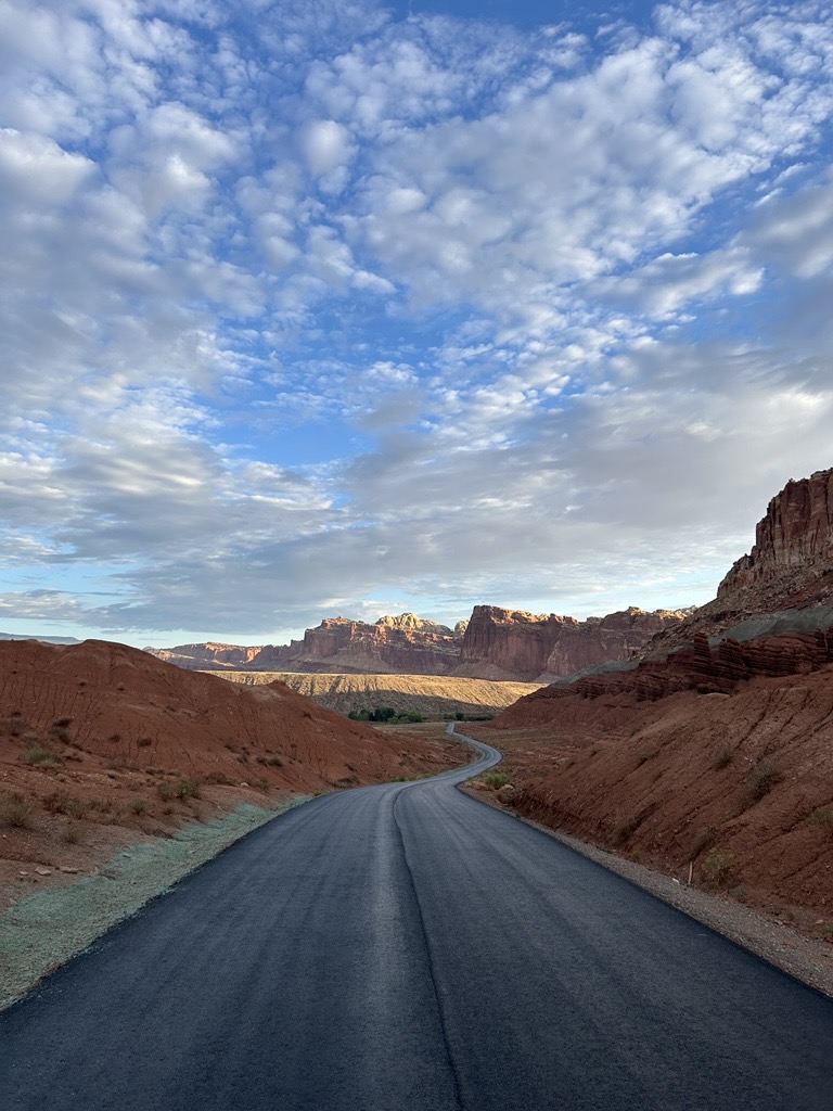
Scenic Drive Rehabilitation Project Complete
The project to rehabilitate the Scenic Drive and expand several parking lots has been completed and the road is fully open to Capitol Gorge.
Reef Ride Bike Days
Capitol Reef National Park is excited to announce the 'Reef Ride' bike event, set to take place on the mornings of September 27th and 28th, in celebration of the newly repaved Scenic Drive and National Public Lands Day. During this special event, the Scenic Drive will be closed to vehicle traffic and open to cyclists, including Class 1, 2, and 3 e-bikes, as well as hikers and runners.
Photo by NPS Photo
Photo by NPS Photo
Photo by NPS Photo
Photo by NPS Photo
Photo by NPS Photo