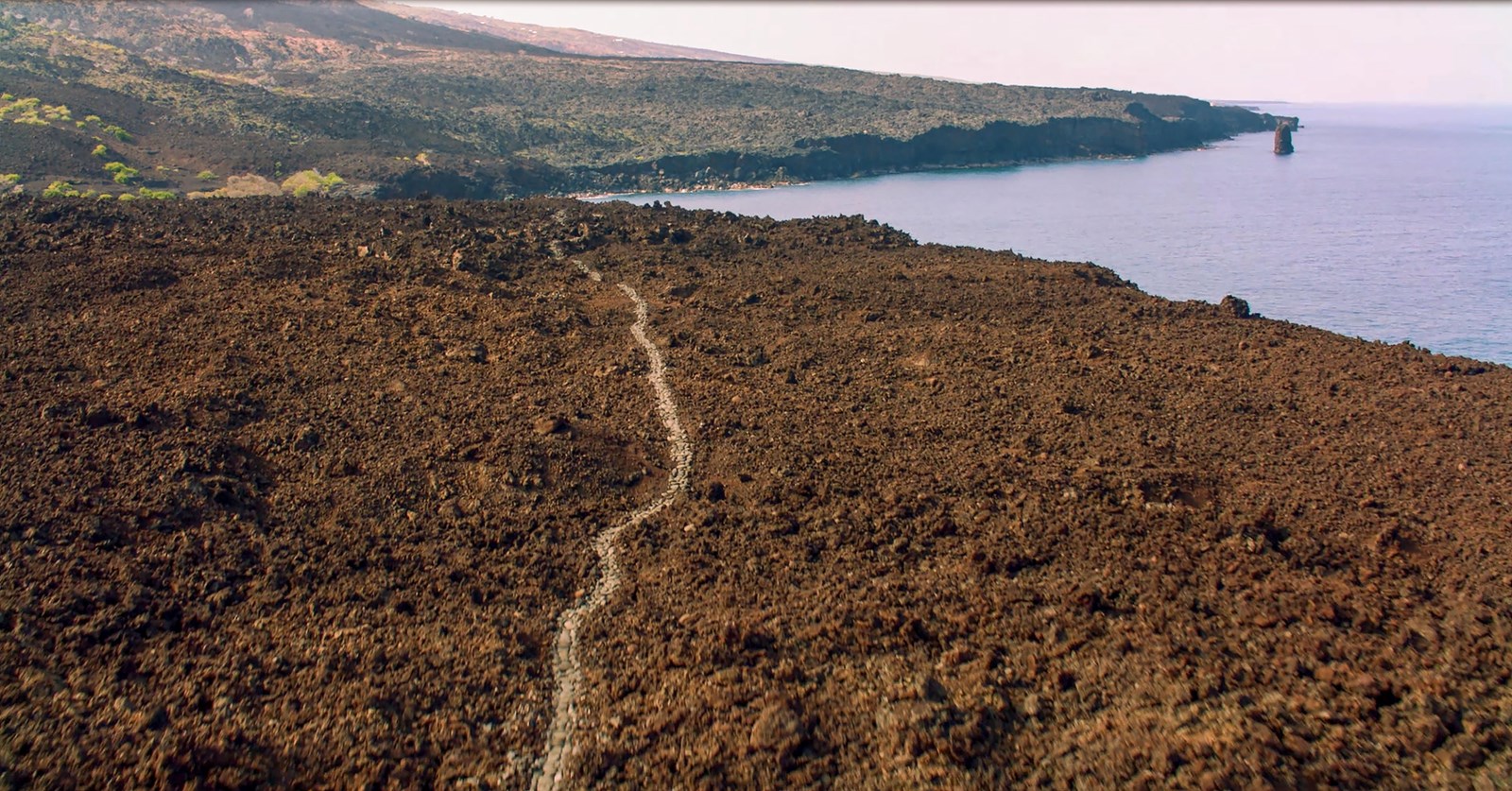
The Ala Kahakai National Historic Trail traverses 175 miles around the island of Hawaiʻi.Photo: NPS Photo
Established in 2000 to preserve, protect and interpret traditional Native Hawaiian culture and natural resources, Ala Kahakai National Historic Trail is a 175-mile corridor encompassing a network of culturally and historically significant trails. This "trail by the sea" traverses wahi pana (storied landscapes), ancient Hawaiian sites and over 200 ahupuaʻa (traditional land divisions).
The Ala Kahakai corridor passes through many historic trails. Here, staff and community members walk along a section of the Kīholo-Puakō section of the Ala Loa.Photo: NPS PhotoAlong some segments of the trail, you can find your way using the Ala Kahakai trail markers.Photo: NPS PhotoA historic section of trail crosses through the Ala Kahakai's Kauleolī Unit in South Kona.Photo: NPS PhotoOne of the best places to see the Ala Kahakai up close is the segment in South Kohala, between Puʻukoholā Heiau and ʻAnaehoʻomalu Bay.Photo: NPS PhotoThe Ala Kahakai works directly with the community in each ahupuaʻa we pass through. Here, community members and students pose in front of a mural at the Captain Cook Post Office depicting the legendary story of Kua.Photo: NPS Photo
Park information and photos come from the National Park Service. This is not an official NPS site.