Bandelier National Monument
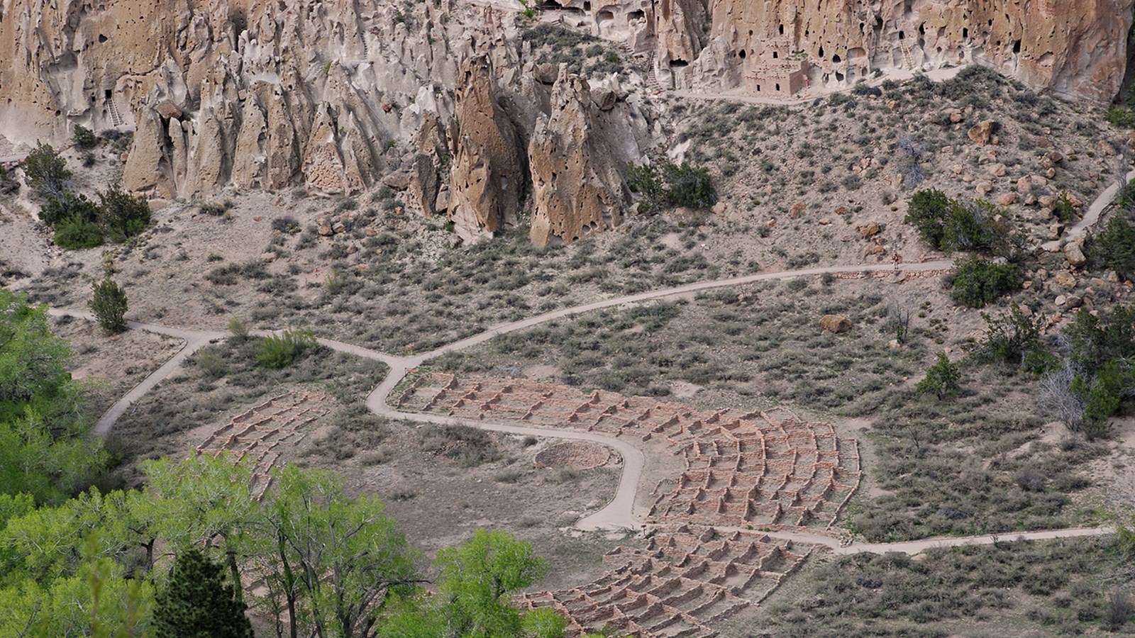
Bandelier National Monument protects over 33,000 acres of ruggedly beautiful canyon and mesa country. Petroglyphs, dwellings carved into the soft rock cliffs, and standing masonry walls pay tribute to the early days of a culture that still survives in the surrounding communities.
News
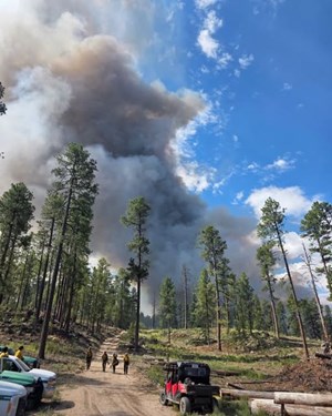 Pueblo Parks Group Implements Stage II Fire Restrictions
Due to increase fire risk, Bandelier National Monument, Valles Caldera National Preserve, Pecos National Historical Park, and Fort Union National Monument are entering Stage II Fire Restrictions.
Photos


Park information and photos come from the National Park Service. This is not an official NPS site.