Cape Krusenstern National Monument
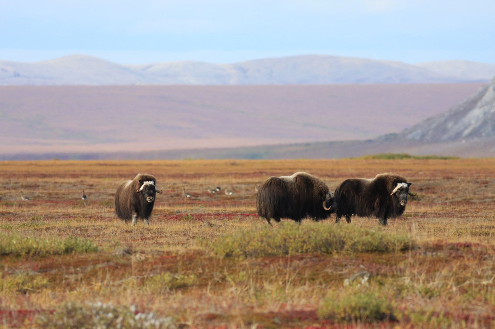
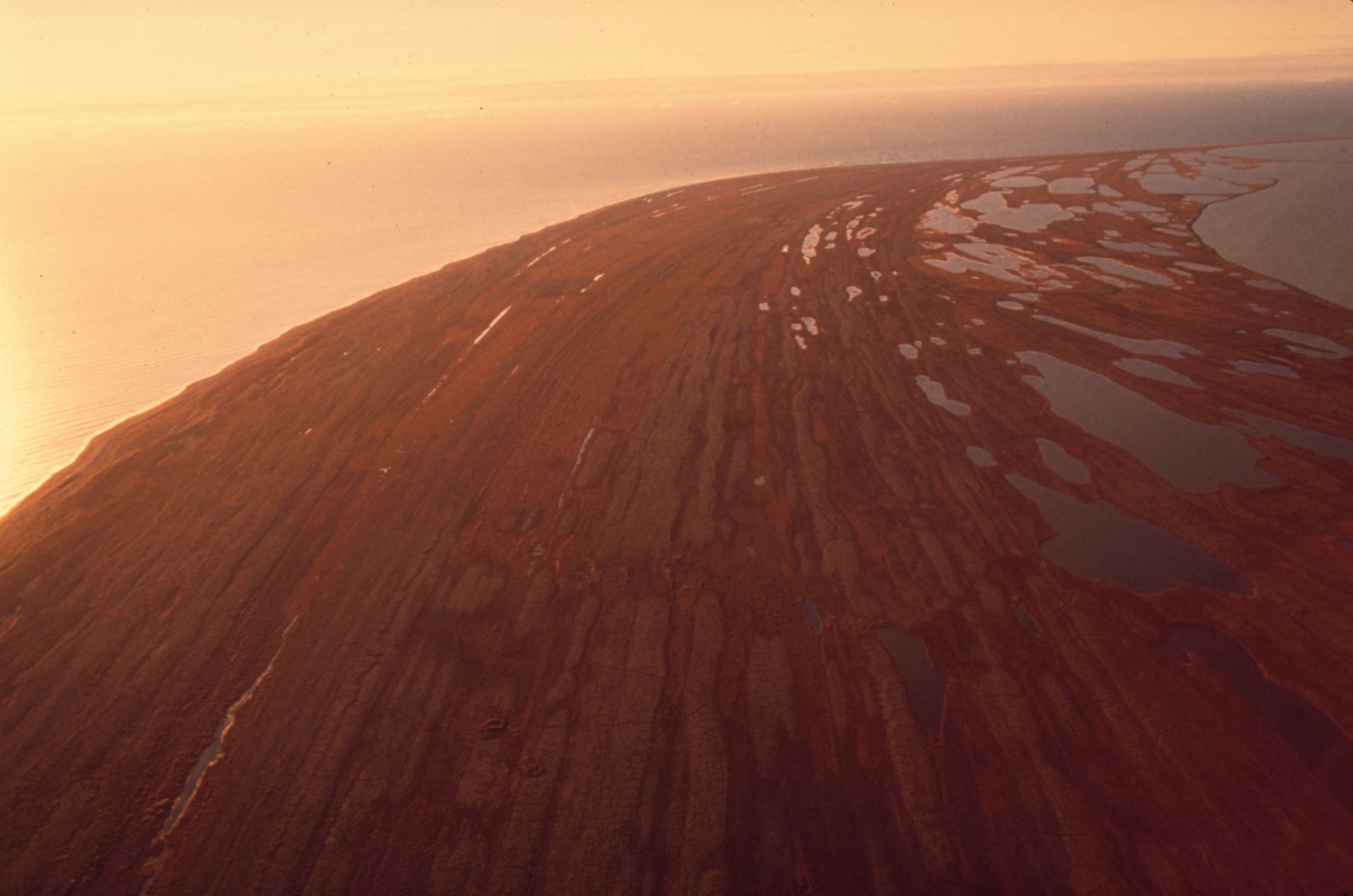
A bridge to the past and a land for the future, Cape Krusenstern National Monument protects approximately 560,000 acres of diverse Arctic coastal, and upland ecosystems. Inhabited by the Iñupiaq people since time-immemorial, over 5,000 years of sequential human use is documented in the 114 successive beach ridges. Rich connections to the land and waters are preserved through subsistence practices.
News
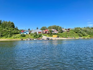 Kiana Traditional Council and community partners to receive 2026 Eileen Devinney Award
Western Arctic National Parklands will present the 2026 Eileen Devinney Award to the Kiana Traditional Council, Tessa Baldwin-Cyrus, Robin Kornfield and Thomas Jackson in recognition of their longstanding partnership with the National Park Service and contributions to preserving and sharing traditional knowledge in Northwest Alaska.
 Federal Customary and Traditional Muskoxen Hunt 2026-2027
Western Arctic National Parklands opens the muskox (UMIŊMAK) federal subsistence permit lottery on Monday, June 1, 2026.
Photos


Park information and photos come from the National Park Service. This is not an official NPS site.