Gulf Islands National Seashore
Millions of visitors are drawn to the Gulf of America for Gulf Islands National Seashore's emerald coast waters, magnificent white beaches, fertile marshes and historical landscapes. Come explore with us today!
Map showing location of park.

National Park Service Plans Prescribed Burn for the Davis Bayou Area in Gulf Islands National Seashore
Prescribed burn scheduled within the Davis Bayou Area sometime between Feb. 7 and 23.

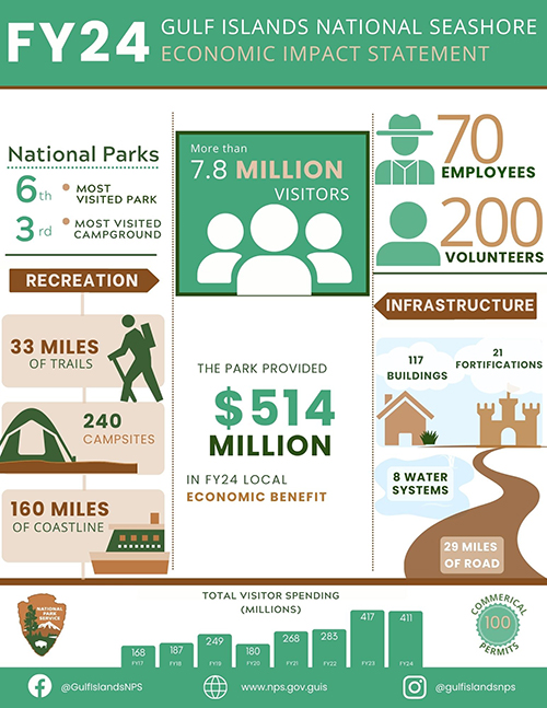
Tourism to Gulf Islands National Seashore contributes 514M to local economies
A new FY24 National Park Service released demonstrating visitor impact to community.

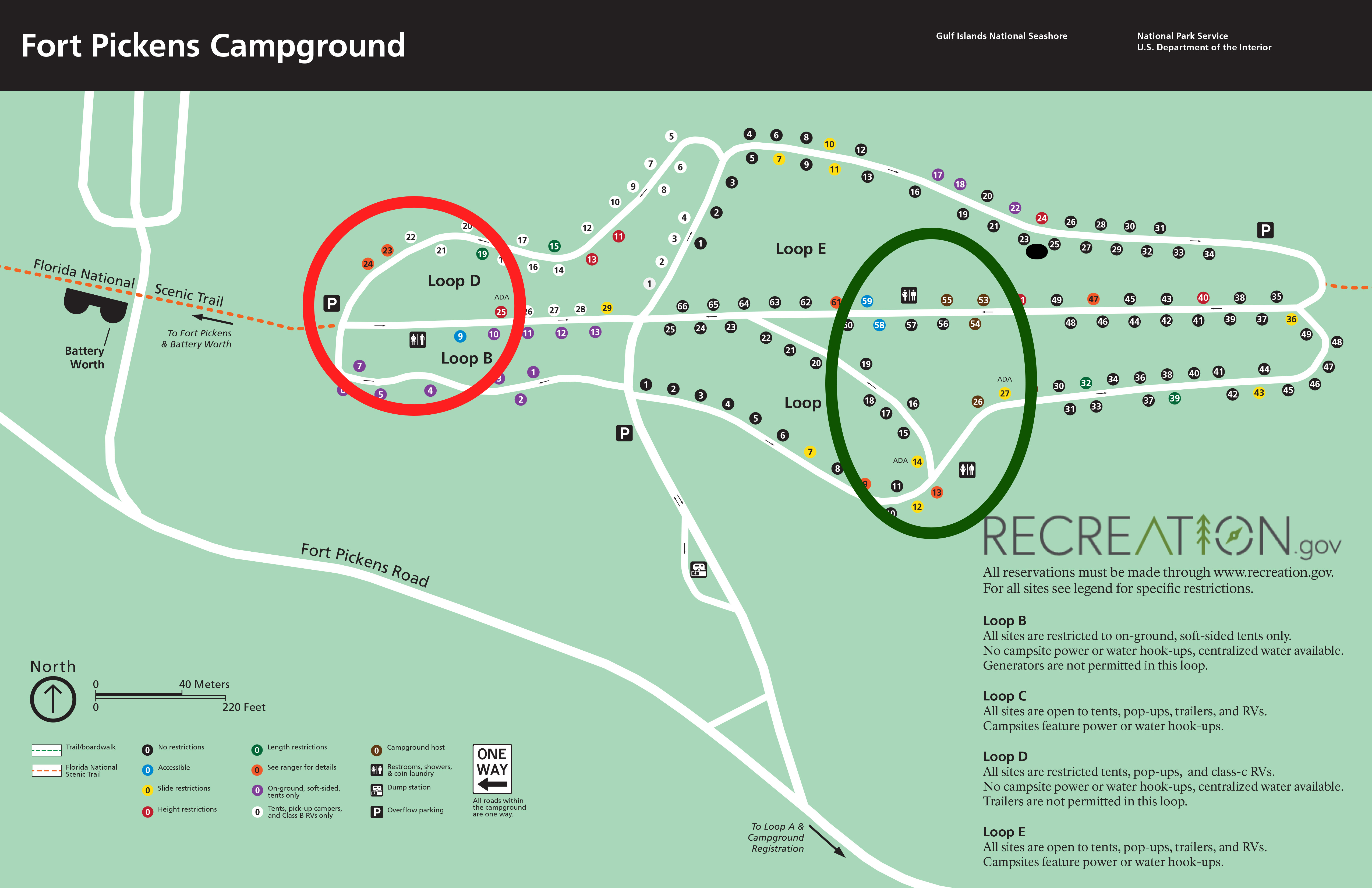
Gulf Islands National Seashore will begin Fort Pickens Campground Restroom Remodel Sept 15
The Fort Pickens Campground restrooms will be remodeled. Beginning
Photo by NPS/Doggrell
Photo by NPS/Doggrell
Photo by NPS/Bernstiel
Photo by NPS/Doggrell
Photo by NPS/Doggrell
Photo by NPS/Breault
Photo by NPS/Wade