
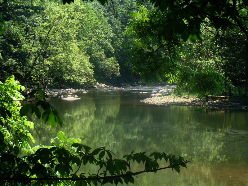
Saint Croix National Scenic Riverway
Grab your paddle and your longing for adventure and head to the St. Croix and Namekagon rivers! Together they form the St. Croix National Scenic Riverway, offering over 200 miles of clean water that glides and rushes through a forested landscape. Paddle, boat, fish, and camp among this wild and scenic beauty. Hiking and historic towns also beckon.
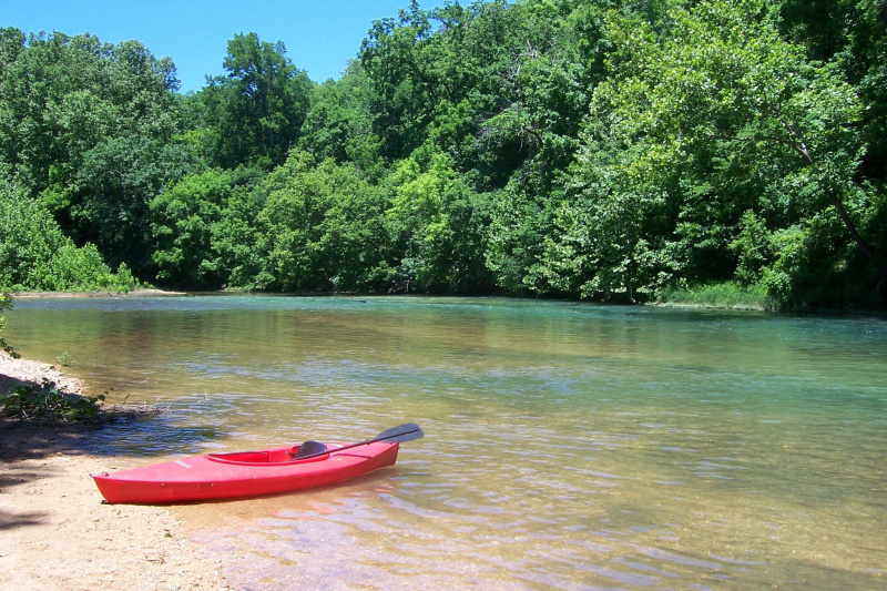
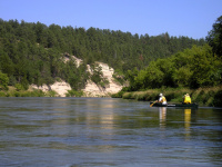
Ozark National Scenic Riverways
Ozark National Scenic Riverways is the first national park area to protect a river system. The Current and Jacks Fork rivers are two of the finest floating rivers you'll find anywhere. Spring-fed, cold and clear they are a delight to canoe, swim, boat or fish. Besides these two famous rivers, the park is home to hundreds of freshwater springs, caves, trails and historic sites such as Alley Mill.
Niobrara National Scenic River
With a little something for everyone, the Niobrara National Scenic River is a destination for crossing adventures off your bucket list. Most popular for river recreation, you can float the Niobrara River on a canoe, tube, or kayak as a beginner and have a blast. Hiking, biking, and wildlife watching keep our visitors busy. Oh! And we haven't even told you about the waterfalls yet.
Cape Cod National Seashore
The great Outer Beach described by Thoreau in the 1800s is protected within the national seashore. Forty miles of pristine sandy beach, marshes, ponds, and uplands support diverse species. Lighthouses, cultural landscapes, and wild cranberry bogs offer a glimpse of Cape Cod's past and continuing ways of life. Swimming beaches and walking and biking trails beckon today's visitors.
Assateague Island National Seashore
Want to live on the edge? Visit a place recreated each day by ocean wind and waves. Life on Assateague Island has adapted to an existence on the move. Explore sandy beaches, salt marshes, maritime forests and coastal bays. Rest, relax, recreate and enjoy some time on the edge of the continent.
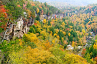
Obed Wild & Scenic River
The Obed Wild and Scenic River looks much the same today as it did when the first white settlers strolled its banks in the late 1700s. While meagerly populated due to poor farming soil, the river was a hospitable fishing and hunting area for trappers and pioneers. Today, the Obed stretches along the Cumberland Plateau and offers visitors a variety of outdoor recreational opportunities.
Upper Delaware Scenic & Recreational River
Canoe through rapids and quiet pools as the Delaware River winds its way through a valley of swiftly changing scenery or fish amid rolling hills and riverfront villages in one of the finest fishing rivers in the northeastern United States. The clean water of the Delaware, the last major undammed river in the eastern United States, supports a healthy ecosystem and offers tranquility and excitement.

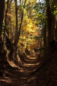
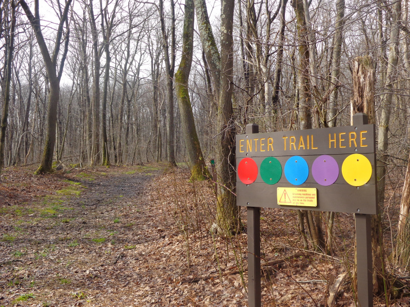
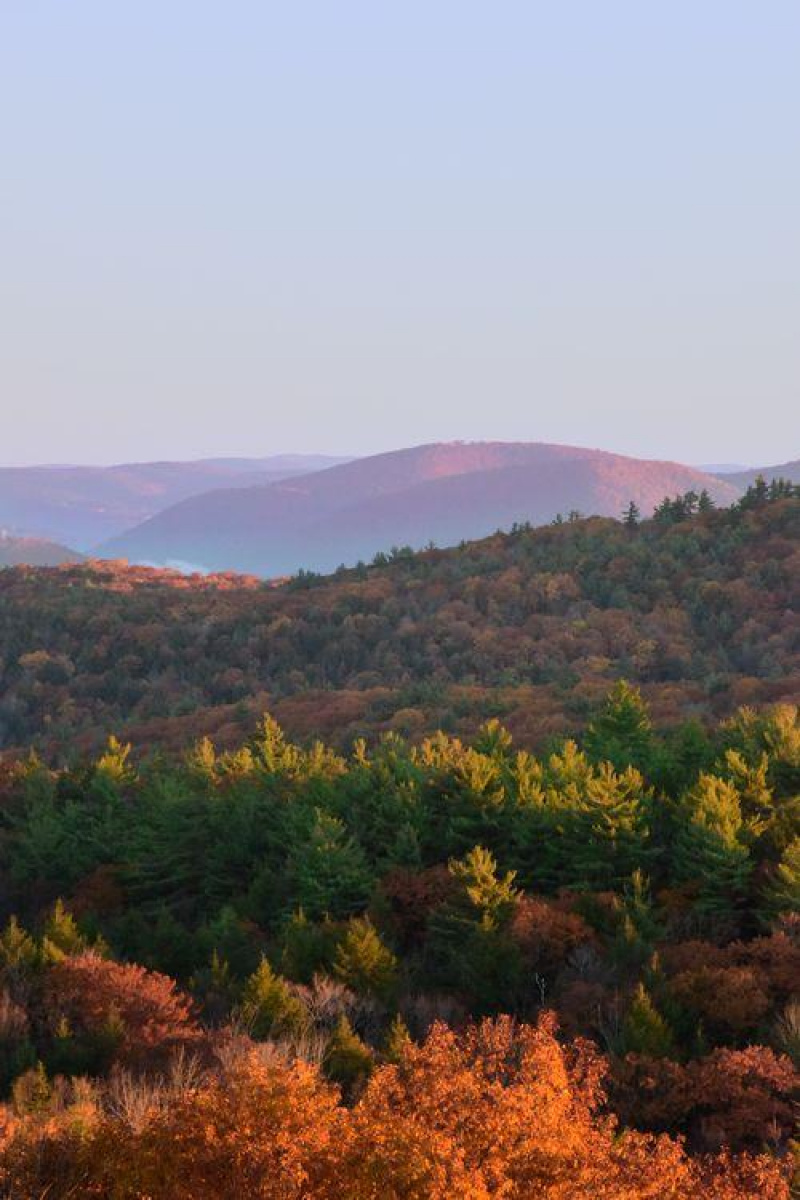
Ice Age National Scenic Trail
A mere 15,000 years ago during the Ice Age, much of North America lay under a huge glacier. Mammoths, saber tooth cats and cave lions roamed the earth! Some of the best evidence of this glacier is found in Wisconsin such as the state’s many lakes, river valleys, gently rolling hills, and ridges. The nearly 1,200 mile Ice Age National Scenic Trail, established in 1980, traces the glacier's edge.
Natchez Trace National Scenic Trail
The Natchez Trace National Scenic Trail consists of five sections of hiking trail running roughly parallel to the 444-mile long Natchez Trace Parkway scenic motor road. The foot trails total more than 60 miles, and offer opportunities to explore wetlands, swamps, hardwood forest, rock outcroppings, overlooks, and the history of the area.
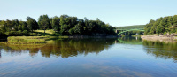
Lower Delaware National Wild and Scenic River
The largest free-flowing river in the eastern United States, the Delaware River runs past forests, farmlands, and villages, and it also links some of the most densely populated regions in America. In 2000, the National Wild and Scenic River System incorporated key segments of the lower Delaware River to form this unit of the National Park System.
Bluestone National Scenic River
The Bluestone River and the rugged and ancient gorge it has carved is a richly diverse and scenic area of the southern Appalachians. Bluestone National Scenic River is preserved as a living landscape that provides an unspoiled experience for visitors and a haven for a variety of plants and animals. The park protects a 10.5-mile section of the Bluestone River in southern West Virginia.
Canaveral National Seashore
Reflect on a pristine undeveloped shoreline, explore a historic site, or experience the rumble of a rocket soaring into space. This pristine barrier island composed of dune, hammock and lagoon habitats provides protection from storms, preserves ancient Timucua Native American mounds, and is sanctuary for thousands of species of plants and animals that call Canaveral National Seashore home.
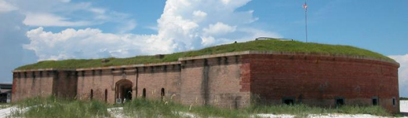
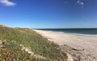
Gulf Islands National Seashore
Millions of visitors are drawn to the Gulf of Mexico for Gulf Islands National Seashore's emerald coast waters, magnificent white beaches, fertile marshes and historical landscapes. Come explore with us today!
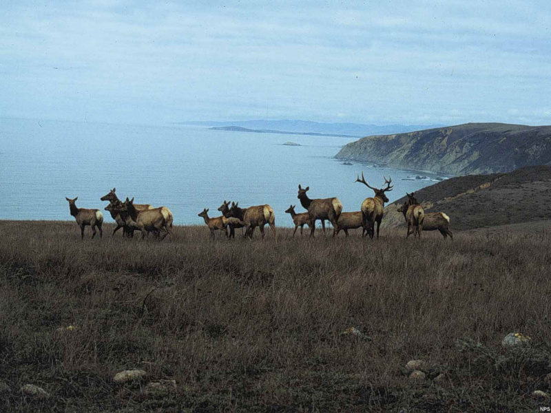
Point Reyes National Seashore
From its thunderous ocean breakers crashing against rocky headlands and expansive sand beaches to its open grasslands, brushy hillsides, and forested ridges, Point Reyes offers visitors over 1500 species of plants and animals to discover. Home to several cultures over thousands of years, the Seashore preserves a tapestry of stories and interactions of people. Point Reyes awaits your exploration.
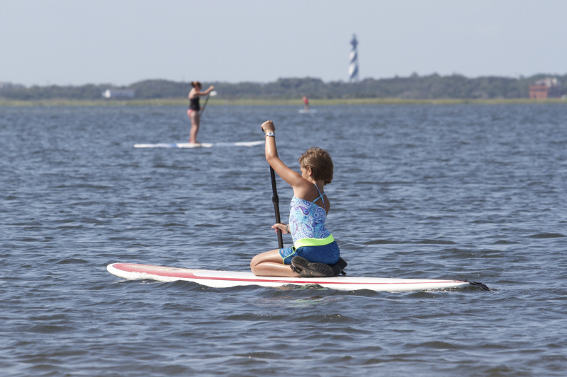
Cape Hatteras National Seashore
The sound of ocean waves, the starry night sky, or the calm of the salt marshes, you can experience it all. Shaped by the forces of water, wind, and storms these islands are ever changing. The plants, wildlife, and people who live here adapt continually. Whether you are enjoying the beach, kayaking the sound, or climbing the Cape Hatteras Lighthouse there is something for everyone to explore!
Fire Island National Seashore
Immerse yourself in an enchanting collage of coastal life and history. Rhythmic waves, high dunes, ancient maritime forests, historic landmarks and glimpses of wildlife, Fire Island has been a special place for diverse plants, animals and people for centuries. Far from the pressure of nearby big-city life, dynamic barrier island beaches offer solitude, camaraderie, and spiritual renewal.
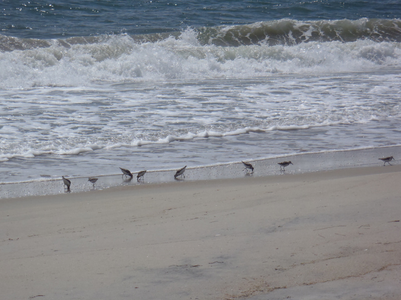
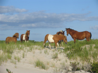
Cape Lookout National Seashore
A boat ride three miles off-shore brings you to the barrier islands of Cape Lookout National Seashore. Horse watching, shelling, fishing, birding, camping, lighthouse climbing, and touring historic villages--there’s something for everyone at Cape Lookout. Be sure to bring all the food, water, and supplies you need (and carry your trash out of the park) when visiting these remote beaches.
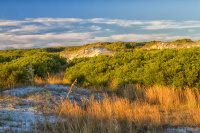
Padre Island National Seashore
Padre Island National Seashore separates the Gulf of Mexico from the Laguna Madre, one of a few hypersaline lagoons in the world. The park protects 66 miles of coastline, dunes, prairies, and wind tidal flats teeming with life. It is a safe nesting ground for the Kemp’s ridley sea turtle and a haven for over 380 bird species. It also has a rich history, including the Spanish shipwrecks of 1554.
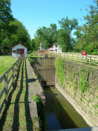
Potomac Heritage National Scenic Trail
Over thousands of years, the Potomac River wound its way through layers of rock. Carving limestone cliffs, roaring falls, and serene winding bends, these waters created a landscape and shaped a nation. Today, the Potomac River corridor is rich in both history and recreation. Offering a chance to both explore your heritage and choose your adventure along the way. Start your journey below!
New England National Scenic Trail
From the Sound to the Summits: the New England Trail covers 215 miles from Long Island Sound across long ridges to scenic mountain summits in Connecticut and Massachusetts. The trail offers panoramic vistas and close-ups of New England’s natural and cultural landscape: traprock ridges, historic village centers, farmlands, unfragmented forests, quiet streams, steep river valleys and waterfalls.
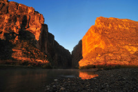
Rio Grande Wild & Scenic River
For 196 miles, this free-flowing stretch of the Rio winds its way through desert expanses and stunning canyons of stratified rock. For the well prepared, an extended float trip provides opportunities to explore the most remote corner of Texas and experience the ultimate in solitude, self-reliance, and immersion in natural soundscapes.
Cumberland Island National Seashore
St Marys is the gateway to Cumberland Island, Georgia's largest and southernmost barrier island. Here pristine maritime forests, undeveloped beaches and wide marshes whisper the stories of both man and nature. Natives, missionaries, enslaved African Americans and Wealthy Industrialists all walked here. Cumberland Island is also home to over 9,800 acres of Congressionally designated Wilderness.